
Looking for Guard Services? Visit Guard Services USA
Looking for Guard Services? Visit Guard Services USA
In March 2026, according to the Armed Conflict Location and Event Data Project (ACLED), more than 3,167 demonstration events were recorded across the United States, a 127% increase over the prior month. On a single day, March 28, over 2,400 protests took place simultaneously across every state in the country. For multi-location retailers with significant urban footprints, that kind of scale and speed demands more than a reactive posture.
Civil unrest planning for retail means having protocols in place before disruption reaches your locations. That includes staffing, guard briefing, communication chains, and law enforcement coordination. Here’s a closer look at the eight metros that warrant the most attention, along with the practical planning framework every multi-location operator should have in place before Q3.
What makes 2026 different isn’t any single factor. It’s three of them hitting at the same time:
Federal enforcement activity has generated recurring protests in major cities, creating a pattern of disruption that is concentrated, predictable, and tied to specific geographic corridors, including commercial ones.
The midterm election cycle historically amplifies public demonstrations as political energy builds through the fall. Combined with an already elevated baseline of protests, the back half of the year carries measurable risk for operators in high-density urban markets.
Social media mobilization speed is the most operationally significant variable. Recent demonstrations have generated over 1,000 protests in a single day across the country. Yet, most enterprise security plans don’t account for the two-to-four-hour mobilization window that social platforms enable. Instead, they’re built around permit filings, news coverage, and law enforcement advisories, which move too slowly to surface a threat in time.
The good news is that this environment is predictable enough to prepare for, and the right operational framework can turn a potential scramble into a managed response.

Here’s a closer look at the eight metros where multi-location operators should be paying the closest attention in 2026.

Running this assessment now, before Q3, gives your team a clear picture of where to concentrate resources.
A tiered exposure map shows you where the risk is. These three operational planning tracks cover what to do about it before Q3 activity peaks.
Pre-identify which stores would require additional guard coverage, establish on-call protocols, and define the triggers that activate a surge response. For multi-location operators, this means having both a national guard services partner to coordinate cross-market coverage and a regional vendor for the local knowledge and relationships that on-the-ground execution requires.

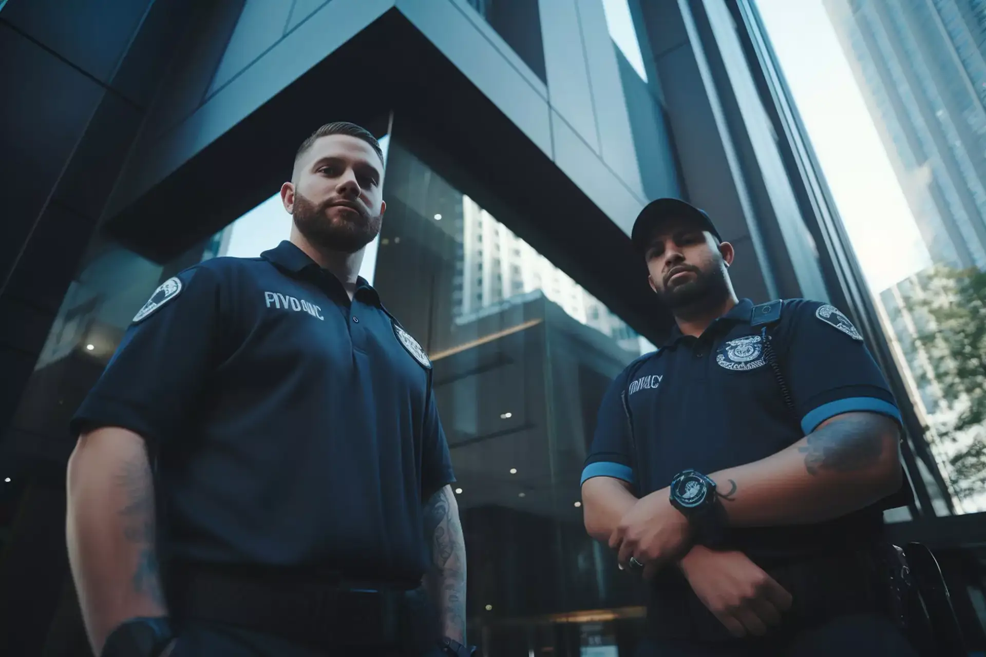
Guards deployed during civil unrest operate in a different environment than standard loss prevention assignments. Briefing protocols should cover neutrality, de-escalation techniques specific to crowd environments, pre-established hold vs. close criteria, and a clear communication chain. Those decisions should never be made in the moment without a framework.
Before protest season peaks, establish direct contact with the relevant precinct for each high-exposure location, clarify escalation thresholds, and document non-emergency reporting channels for each market. Building that relationship before an event is the difference between a coordinated response and a phone call that goes unanswered.

Civil unrest planning is most effective when it happens before the disruption, not during it. For multi-location operators with urban footprints across these eight markets, the Q2 window is the right moment to treat this as the annual emergency preparedness review your operation needs, regardless of the political environment. Review your protocols, stress-test your vendor relationships, and make sure a national guard services partner is part of that conversation.

Civil unrest planning for retail means having protocols in place before disruption reaches your locations. Start by mapping your portfolio exposure by proximity to civic infrastructure, transit hubs, and historically active protest corridors. From there, build three operational planning tracks: staffing surge models, guard briefing protocols, and law enforcement coordination procedures.
The eight metros that warrant the closest attention are Minneapolis, Chicago, Seattle, Portland, Atlanta, Philadelphia, Los Angeles, and Washington DC. Each combines population density, protest history, and proximity to retail corridors in ways that create measurable operational risk for multi-location operators.
The window between an organizing post going viral and demonstrators arriving at a location can be as short as two to four hours. Most enterprise security plans aren’t built to respond in that timeframe.
Guards should follow pre-established briefing protocols covering neutrality, de-escalation techniques specific to crowd environments, and clear hold vs. close criteria. Those decisions should never be made in the moment without a framework in place.
A national guard services partner can coordinate surge coverage across multiple markets simultaneously with standardized briefing protocols. A regional vendor provides the local market knowledge and on-the-ground relationships a national partner can’t replicate. Effective civil unrest planning requires both.